
Deer Population Monitoring
Deer populations in California have exhibited marked declines in the last two decades, with estimates of population decline as great as 50% since 1991. Anthropogenic barriers such as roads and fences are widely believed to reduce landscape connectivity for deer and other wildlife and may be contributing to the overall population decline. Fences have been observed to cause disruption of migration routes and separation of female deer from their young, and may also be used by large carnivores to corner or trap prey. Despite these observation, the effects of fences on wildlife have not been well studied by scientists. Recent advances in GPS positioning and accelerometer technologies provide a novel and critically important opportunity to study the effects of fencing on landscape connectivity for deer populations.
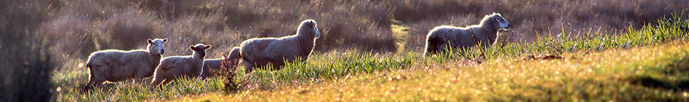
HREC is an ideal site at which to explore how California’s rich wildlife communities respond to fencing. HREC and its neighboring properties are latticed with fences of varying age and construction for the purpose of managing sheep and reducing their depredation, or excluding vertebrate pest from grapes and other crops. The site offers a rare opportunity to experimentally alter the permeability of different fence types and observe wildlife responses to various fence configurations. The carefully regulated annual deer hunt at HREC also provides a rare and powerful opportunity to study the spatial distribution of hunting activity, the manner in which it affects the movement of deer, and how fences can shape wildlife responses to anthropogenic disturbance.
Researchers from the Brashares Lab at UCB recently took advantage of these opportunities to study wildlife movement in relation to fences during periods of high predation risk. Researchers asked hunters at HREC to carry fine-resolution GPS “track sticks” that allowed them to later map the precise movement paths of hunters in relation to habitat and other features on the landscape. They then combined these data with information from GPS collars on wildlife and camera trap data to illuminate the movement of deer and other wildlife at HREC. The insights learned can aid land managers in planning for wildlife connectivity and in working with land-owners to minimize their impacts on wildlife populations and communities. Guidelines based on this research will also influence construction of new fences, and encourage modification of existing fences as part of a larger assessment of deer-friendly management practices.
Additionally, the California Department of Fish and Wildlife (CDFW) Deer Management Program is currently piloting a new monitoring strategy for deer populations that utilizes a powerful, cutting edge, quantitative method that combines data from camera-traps and genetic capture-recapture to derive spatially-explicit deer abundance estimates. However, the accuracy and reliability of these new models can only be assessed by applying the same methods in a controlled system where true deer abundances are known.
HREC covers a remarkable array of natural habitat types (e.g., grassland, woodland, dense chaparral) as well as a gradient of land-use types including intensive agriculture (e.g., vineyards) and sheep production across a landscape of private and public lands. This diversity combined with HREC’s rare, long-term data set of deer population estimates and spatially-explicit harvest records that go back to the 1950’s, provides an unprecedented opportunity to hone the deer estimation techniques currently being developed by CDFW. By combining macro-scale deer survey data with high-resolution movement and survival data from HREC, researchers were able to develop and test an improved population projection model for deer in our region.